The Montessori Bridge
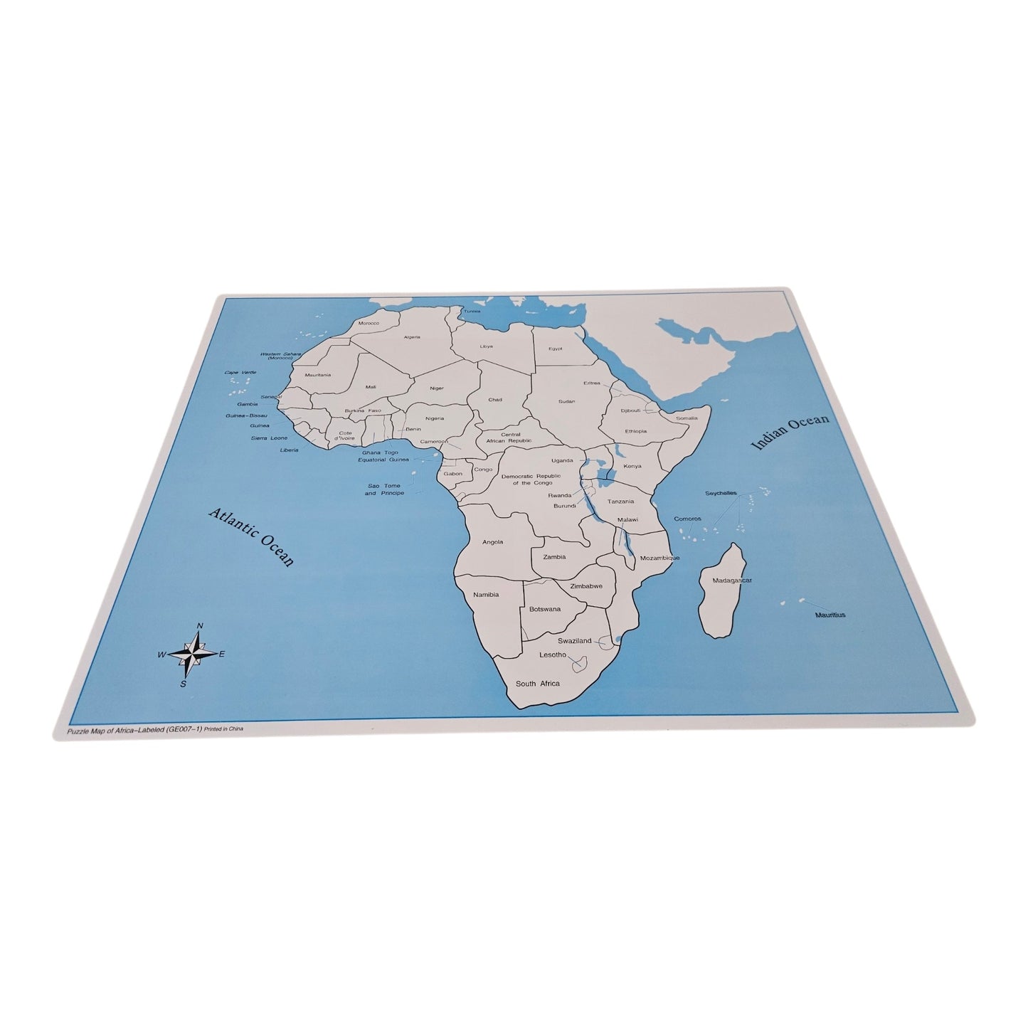
Labelled Africa Control Map
Labelled Africa Control Map
Couldn't load pickup availability
Introduce children to the fascinating continent of Africa with the Labelled Africa Control Map. Designed to accompany the Montessori Africa Puzzle Map, this control map provides a clear reference showing the countries of Africa, supporting independent learning and helping children build a strong foundation in world geography.
Children can use the control map to identify and name the countries of Africa while developing spatial awareness, concentration, and an appreciation for the continent's rich cultural landscape, wildlife, and people. It is an excellent resource for reinforcing map work and encouraging confidence through self-correction.
Printed on high-quality cardstock and perfectly sized to complement Montessori geography activities, this control map is ideal for use at home, in the classroom, or in a homeschool environment.
Features
- Clearly labelled countries of Africa
- Supports independent Montessori map activities
- Encourages geography, language, and cultural studies
- High-quality print for durability
- Perfect companion to the Montessori Africa Puzzle Map
Recommended Age: 3–6 years (with continued use as knowledge expands)
Share